Learn NYC property · Agencies and the basics
311, community districts and the map units a property sits in
What 311 is and what happens to a building complaint made to it, and the map units every New York City lot is filed under — community districts and boards, City Council districts, census tracts and Neighborhood Tabulation Areas.
311 is New York City's number for everything that is not an emergency: a complaint about no heat, a noisy neighbor, a blocked driveway, illegal construction next door, or a question about a City service. It took its first call on March 9, 2003, and today it also takes requests online, by app and by text message. A complaint becomes a service request with a tracking number, and 311 routes it to the agency that handles that kind of problem. Emergencies go to 911, not 311.
For property, 311 matters because it is where most housing and building complaints start. A tenant's call about a leak becomes an HPD complaint, an inspection and perhaps a violation; a neighbor's call about work without a permit becomes a DOB complaint. The calls themselves stay on the record, filed against the building's lot.
311 in numbers
The Mayor's Management Report for fiscal year 2026 counted 16.6 million calls to 311, 2.8 million contacts through its app and 17.6 million visits to its website, and 4.1 million completed service requests. The requests are published on NYC Open Data — every one since 2020, with the agency, the problem, the dates it was opened and closed, and the lot it concerns. Requests from 2010 to 2019 moved to a separate dataset in December 2025.
Building complaints
Most 311 requests go to the police — noise and parking above all — and to Sanitation and Transportation. Two agencies handle the ones about buildings: HPD for the condition of homes — heat, hot water, leaks, pests, repairs — and the Department of Buildings for construction, elevators, unsafe structures and how a building is used.
In the last 12 months 311 sent HPD 905,241 complaints and DOB 116,983 that named a building's lot, by BlockLot Intelligence's count. Heat and hot water alone are the largest kind by far:
311 service requests sent to HPD (homes) and DOB (construction and buildings) in the last 365 days that name a tax lot; the ten most common types. BlockLot Intelligence, computed October 9, 2026.
How long a complaint stays open
311 records when each request was made and when the agency closed it. By BlockLot Intelligence's count of the last 12 months, HPD closed its complaints a median 4 days after the call — 1.7 days for heat and hot water, which HPD treats as an emergency in the heating season, and 8.5 days for plumbing. DOB closed its complaints a median 4.5 days after the call, but a complaint about how a building is used took 31 days.
Days from the request to the time 311 recorded it closed, for requests made in the last 365 days that are closed. The bar ends at the median; the pale band covers the middle half. BlockLot Intelligence, computed October 9, 2026.
Closed does not mean fixed. HPD closes a complaint once it has inspected or the tenant has confirmed the repair; whatever the inspector found is written up as a violation, which has its own life. HPD violations follows that path. The Mayor's Management Report measures HPD differently — a median 3.0 days to close an emergency problem in fiscal 2026 — because it counts each housing problem once, where several 311 calls can report the same one.
The map units a lot sits in
Every lot in the city belongs to a set of districts, each drawn for a different purpose. City Planning's lot file, PLUTO, records them for every lot:
| Map unit | How many |
|---|---|
| Community districts | 59 |
| City Council districts | 51 |
| Neighborhood Tabulation Areas | 262 |
| Census tracts (2020) | 2,325 |
Counted from the City's lot file and the 2020 boundaries the Department of City Planning publishes. Neighborhood Tabulation Areas include parks, cemeteries and airports, which have few or no residents. BlockLot Intelligence, computed October 11, 2026.
Community districts and community boards
New York is divided into 59 community districts: 12 each in Manhattan and the Bronx, 18 in Brooklyn, 14 in Queens and 3 on Staten Island. A district's three-digit code is the borough digit followed by its number — 105 is Manhattan Community District 5.
Large parks and the airports belong to no community district. The City files them as 12 joint interest areas with codes of their own, such as 164 for Central Park and 483 for JFK Airport.
Each district has a community board of up to 50 unpaid members, appointed by the Borough President, half or more of them nominated by the district's City Council members. A board is advisory but has a formal voice in what gets built. In the City's land-use review (ULURP), a rezoning or other land-use application goes to the community board first, which has 60 days to hold a hearing and send a recommendation, before the Borough President, the City Planning Commission and the City Council decide. Boards also give their opinion on liquor licences and set out the district's budget priorities each year.
City Council districts
The City Council has 51 members, each elected from a City Council district. The Council has the final vote on most rezonings and other land-use decisions, which is why a district's Council Member matters to anyone planning to build. The current lines were adopted in November 2022, after the 2020 census, and were first used in the 2023 elections; each district was drawn around an ideal population of 172,882.
Census tracts
A census tract is a small statistical area the US Census Bureau draws for counting the population — usually between 1,200 and 8,000 people, with 4,000 the ideal. City Planning's map of New York has 2,325 tracts on land from the 2020 census, and 2,327 counting two under water. A tract number is unique only within its borough, so tract 1 exists in the Bronx, Brooklyn and Manhattan, and some carry a decimal, such as 22.01, where a tract was split. Census figures — population, income, housing — are published by tract, which is why property data so often uses it.
Neighborhood Tabulation Areas
A Neighborhood Tabulation Area, or NTA, is a group of census tracts the Department of City Planning drew so that neighborhood-sized areas would have enough people for reliable census statistics. There are 262 2020 NTAs: 197 residential ones, and the rest are parks, cemeteries, airports and other special areas. City Planning says plainly that NTA names are not meant to settle what a neighborhood is called or where it ends.
NTAs fit inside 71 Community District Tabulation Areas (CDTAs), which are built from whole census tracts to approximate the 59 community districts and the joint interest areas, for the same statistical purpose.
A worked example. The Empire State Building sits in Manhattan Community District 5 (code 105), City Council District 4, census tract 76 and the Midtown South-Flatiron-Union Square NTA (MN0501).
Where you see this in BlockLot
A building's page lists its open HPD complaints in the Compliance & distress signals card, every 311 call about it under 311 complaints, and its census tract in the Neighborhood card. BlockLot's area pages cover ZIP codes, blocks and NTAs, so a building can be compared with the neighborhood around it.
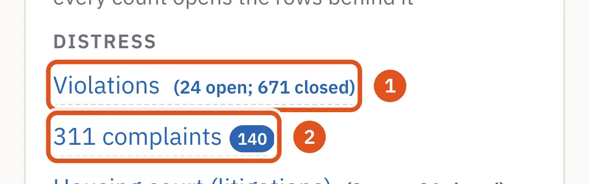
- HPD and DOB violations, open and closed
- The building's 311 calls
Questions people ask
What is 311 used for? Non-emergency City services and complaints: no heat or hot water, a leak the landlord will not fix, noise, illegal construction, a blocked driveway. Call 311, use the 311 website or app, or text 311-692.
What happens after I call 311 about my apartment? The complaint goes to HPD, which contacts the owner and may send an inspector. If the inspector sees the problem, HPD writes a violation the owner must correct.
How do I find my community district? Every lot's community district is in City Planning's lot file, PLUTO: the borough digit followed by the district number. The City's community boards site lists each board and how to reach it.
Do community boards decide on rezonings? No, they advise. The community board holds a hearing and makes a recommendation; the City Planning Commission and the City Council decide.
Is a Neighborhood Tabulation Area the same as a neighborhood? Not exactly. NTAs are statistical areas built from census tracts, and City Planning says their names are not meant to define neighborhoods.
Why do census tracts matter for property? Census and housing statistics — population, income, rents — are published by tract, and lenders and researchers compare buildings with their tract.
Related
- Department of Housing Preservation and Development (HPD) — What New York City's housing agency does — enforcing the Housing Maintenance Code, financing affordable homes, running the lotteries and Section 8 — and how every rental building must register with HPD each year, naming its owner and a managing agent.
- Department of Buildings (DOB) — What New York City's Department of Buildings does, how a building permit works from filing to sign-off, what a Certificate of Occupancy is, and how DOB violations and stop work orders are issued and cleared.
- BBL, block and lot: how New York numbers its land and buildings — What a BBL is, how borough, block and lot make up its ten digits, why condominiums have billing lots and unit lots, how lots are merged and split, and how the BIN that identifies a building differs.
- PLUTO, NYC Open Data and the public registries behind a property — What NYC Open Data is, what City Planning's PLUTO lot file holds and where its fields come from, how city-owned land is marked, what the New York Department of State's business registry says about the companies that own buildings — and how BlockLot uses each.
Sources
- BlockLot Intelligence — BlockLot's own analysis of the public records below, computed October 11, 2026.
- NYC 311 — About NYC 311
- Mayor's Management Report, Fiscal 2026 — 311
- NYC Open Data — 311 Service Requests
- NYC Open Data — changes to the 311 Service Requests dataset
- Community Boards — About community boards
- Community Boards — Land use and zoning
- Community Boards — Liquor licenses
- DCP — The Uniform Land Use Review Procedure (chart)
- NYC Open Data — Community Districts
- NYC Council — Districts
- NYC Council — Land use
- NYC Districting Commission — Final report (January 2023)
- US Census Bureau — Geography glossary (census tracts)
- NYC Open Data — 2020 Census Tracts
- DCP — 2020 Neighborhood Tabulation Areas, metadata
- NYC Open Data — 2020 census tracts to NTAs and CDTAs